

Community
A tropical wave is approaching that could bring rains with thunderstorms and even hail in several regions. Know which areas will be most affected.
Storm clouds are formed in the central highlands of Guatemala, anticipating rains and electrical activity during the afternoon. (PHOTO FREE PRESS: HEMERECA)
A new descent in the Atmospheric pressure and the APPROACH OF A TROPICAL WAVE They are influencing the weather conditions in Guatemala this Sunday, June 1, 2025, according to the forecast issued by the Insivumeh.
From the early hours of the morning, areas with mist mainly in mountain regions and valleys are reported.
During the morning, a warm and sunny environment predominates nationwide, with high temperatures that could increase the risk of forest fires.
As for cloud coverage, the cloudy ones that are observed from the south to the center of the country are expected to dissipate during the morning, while in the rest of the territory the sky remains mostly clear.
Rains with electric storms
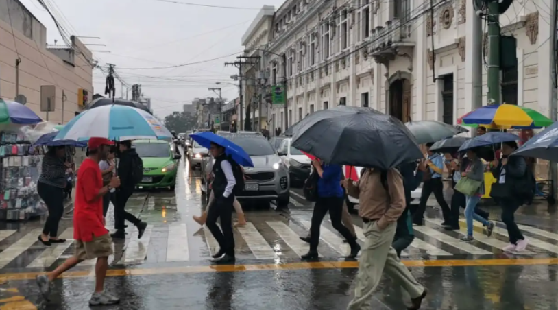
For the afternoon and night, daytime warming combined with moisture in the environment will favor the formation of storm clouds that will leave rains accompanied by electrical activity. The possible hail In some areas.
The regions with a greater probability of heavy rains are the Valles de Oriente, La Bocacosta, El Pacífico, the Central Altiplano and the West.
In it North and the Caribbeanthe prognosis indicates a lower probability of rain, and in the rest of the country only dispersed cloud is expected.
The authorities recommend the population to take precautions to high temperatures, which continue to generate conducive conditions for forest fires.
Likewise, the planned rains could cause lahars in the volcanic chain, as well as sudden floods of rivers, floods or landslides in vulnerable areas.
