
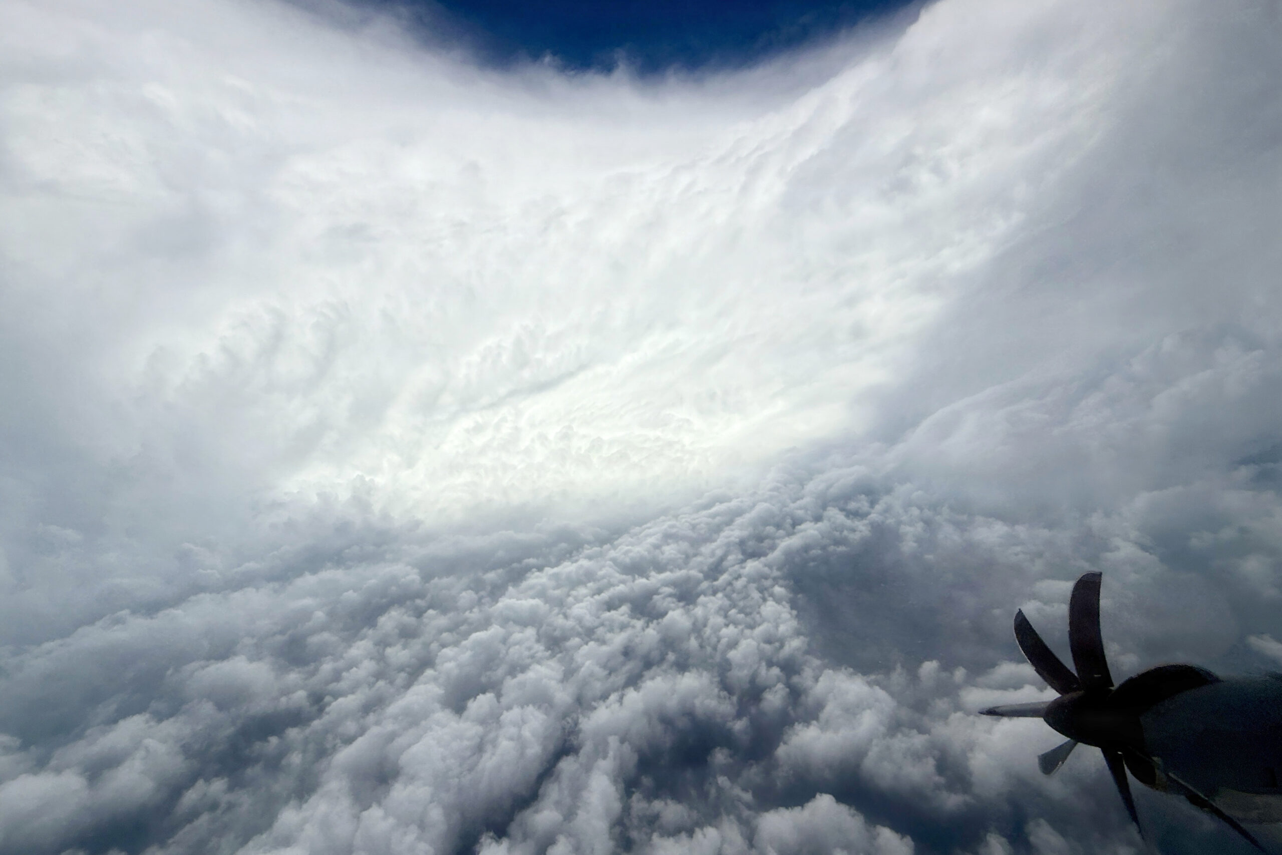
According to what is stated by the United States National Hurricane Center (NHCfor its acronym in English), the Hurricane Genevievethe first to reach the category 5 in the eastern Pacific Ocean from Kristyin July 2024is located about 835 kilometers south-southwest of the southern tip of Baja California, Mexico.
Therefore, although Hurricane Genevieve rapidly strengthened to Category 5 and became the first cyclone maximum intensity recorded in the Pacific Ocean in two years, remains near the coast of Mexico and meteorological authorities do not predict that it will represent a threat for the United States.
“The waves generated by Genevieve are affecting parts of the coast southwest of Mexico and the southern part of the peninsula of Baja California, and will extend northward along the rest of the western coast of said peninsula. This surge is likely to cause conditions either “life-threatening rip currents,” the NHC added.
Consequently, the National Meteorological Service of Mexico predicts that for the Next Tuesday, July 28 Hurricane Genevieve weakens category 4so the cyclone would continue weakening during the rest of the week, as it moves away from Mexico, until downgrading to a tropical storm on Friday night, July 31.
Path of Hurricane Genevieve
Although Hurricane Genevieve could descend rapidly to category 4 in the next few hours, its extensive cloud bands threaten to cause rains torrential storms and dangerous waves, so, according to the authorities of the United States and Mexico, knowing its trajectory is vital to avoid high risk areas in the next few days.
The National Meteorological Service confirmed this July 27 that the phenomenon changed its intensity and satellite data show a slight decrease in the speed of its maximum sustained winds. However, the core of the hurricane continues its movement over the waters of the Pacific and maintains its movement towards the northwest.
According to him last official report, Hurricane Genevieve is approaching gradually to the peninsula Baja California Sur, Mexicogiven that its outer bands are already beginning to interact with the coastal geography of said region, despite the fact that the phenomenon is located more than 835 kilometers south-southwest of the Cabo San Lucas.
Consequently, although forecast models indicate that Hurricane Genevieve will not touch the groundits extensive circulation will affect the area of Baja California Sur and the close passage of the system will alter local atmospheric conditions, so wind gusts exceeding 200 kilometers per hour are expected on the Mexican coast.
⛈️🌞💨🌊 They are predicted #Rains intense for regions of #Sonora, #Oaxaca and #Chiapasand from strong to very strong in 16 other entities of #Mexico. More information in ⬇️https://t.co/MdvQpVA3r5 pic.twitter.com/IOUmv5e0sc
— CONAGUA Climate (@conagua_clima) July 27, 2026
Storms and intense rains in different Mexican states
The National Meteorological Service of Mexico announced that the interaction of Hurricane Genevieve with the tropical wave and other systems will maintain rain in a good part of the Mexican territory, which will favor the presence of storms and heavy rain in entities of the west, northwest, center and south of the North American nation.
Heavy rains
- Veracruz
- Oaxaca
- Chiapas
- Tabasco
Very heavy rains
- Sonora
- Chihuahua
- Durango
- Sinaloa
- Nayarit
- Jalisco
- Colima
- Michoacan
- Warrior
- Puebla
Heavy rains
- Gentleman
- State of Mexico
- Mexico City
- Tlaxcala
- Morelos
- Campeche
- Yucatan
- Quintana Roo