
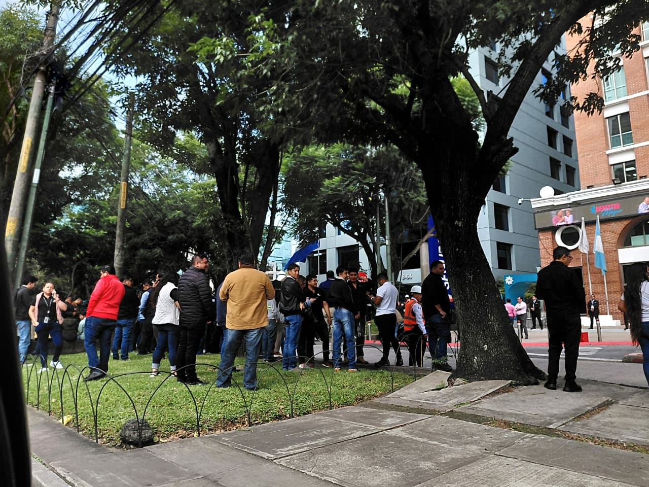
During the afternoon of Thursday July 16the National Institute of Seismology, Volcanology, Meteorology and Hydrology (Insivumeh) recorded a magnitude earthquake 4.3 in the department of Santa Rosaso many Guatemalans interpreted it as a warning of what would happen this Friday July 17 in the national territory.
At 7.20 hours of this Friday, July 17, the Insivumeh registered an earthquake of magnitude 5.0 in the epicentral region of the Pacific Ocean, very close to the coast of the department of Saint Mark. However, an hour later, at 8.47 hours, reported a magnitude earthquake 5.6 with epicenter in the department of Quetzaltenango.
One minute later, at 8:48 a.m. this Friday, July 17, the Insivumeh registered an earthquake of magnitude 7.4 in the epicentral region of the Pacific Ocean, near the border between the department of San Marcos and Mexico; and it was him strongest shaking that was felt in much of the national territory, including the Guatemala City.
This situation generated confusion among the Guatemalans, so that the spokesman of Insivumeh explained that the registry preliminary located the 5.6 magnitude earthquake in Quetzaltenango, but according to institutional protocols, it was to A manual review was carried out and, subsequently, it was determined that the earthquake was a 7.4 in the Pacific region.
SEISMOLOGICAL BULLETIN
RECORDED EARTHQUAKE
Epicentral region: PACIFIC OCEAN
July 17, 2026. 08:48:39 hrs. #SomosINSIVUMEH #PassionForScience #AlPuebloDignoSeLeResponde #CIV #TremorGT #SismoGT pic.twitter.com/zBUvwUD6PH— INSIVUMEH (@insivumehgt) July 17, 2026
Update on the earthquake felt this Friday, July 17
“As a result of this earthquake, the Emergency Alert Center Tsunamis Pacific Islands issued a preliminary threat alert low for Guatemala, so the arrival of waves of low height to the Guatemalan coasts. It is recommended to stay informed through the official channels of the National Institute,” added the Insivumeh spokesperson.
Likewise, as part of the monitoring of the alert of tsunamithe Insivumeh reported that a series of giant and destructive wavescaused by underwater disturbances, could affect Mexico, but not Guatemala. The institute indicated that the threat classification for the country is low and that variations in the tide will be minimal.
We verify for you: Why is it said that the 2026 World Cup final could be suspended?
“At the level of impact in Guatemala, possible variations in the tide level are expected no greater than 100 centimeterswith an increase in the strength of the waves,” added the Insivumeh in a digital statement on its social networks, after it was reported that the 7.3 magnitude earthquake was located very close to the coast of Chiapas, Mexico.
However, the National Institute of Seismology, Volcanology, Meteorology and Hydrology recommended that the country’s population stay away from the coastline until further notice, mainly in the departments of San Marcos, Suchitepéquez, Escuintla, Santa Rosa and Retalhuleu, with emphasis on the municipality of ChampericoRetalhuleu.
Recommendations to the population
“Maintain precautions for boats and coastal population due to possible changes in sea level and in the force of the current,” added the National Coordinator for Disaster Reduction (Conred), the institution in charge of coordinating entities and civil society to prevent and respond to disasters or emergencies.
At the same time, the Insivumeh recorded another earthquake of magnitude 4.7 in the Pacific Ocean at 10.44 hours this Friday, July 17. These movements could correspond to replicasthat is, seismic movements of smaller magnitude that occur in the same region after a main earthquake due to readjustment of the earth crust.
Update on the earthquake felt this July 17, 2026.#SomosINSIVUMEH #PassionForScience #AlPuebloDignoSeLeResponde #CIV #SismoGT pic.twitter.com/WtuHo1jn9F
— INSIVUMEH (@insivumehgt) July 17, 2026