
He earthquake of magnitude 7.4, sensitive this Friday, July 17 in Guatemala and with its epicenter off the coast of Chiapas, Mexico, activated a tsunami alert, so the Insivumeh shared details about the waves.
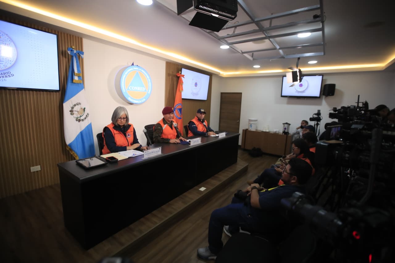
Edwin Rojas, director of Insivumeh, explained in a press conference that the earthquake was sensitive in the national territory because the epicenter was recorded at a depth of 18 kilometers, as a result of the subduction process between the Cocos and Caribbean plates.
He clarified that it is not a seismic swarm, but rather a sequence characterized by a mainshock and 42 aftershocks.
He added that some of the earthquakes have been sensitive, mainly in the south of the country.
Rojas indicated that the tremors caused the Pacific Tsunami Warning Center to issue a tsunami warning for the coasts of Guatemala. However, this was canceled at 11:04 a.m., after the arrival of the first effects of the waves, which increased between 30 and 34 centimeters above the usual level in San Marcos and part of the coast.
Also at the press conference, the executive secretary of Conred, Claudinne Ogaldes, indicated that 58 emergencies have been reported: 12 in San Marcos, 11 in Quetzaltenango, nine in Sololá, eight in Huehuetenango, seven in Suchitepéquez, four in Quiché, three in Guatemala and one in Retalhuleu, Totonicapán, Sacatepéquez and El Progreso.
To read more: 10 key points of the earthquake that affected Guatemala and Mexico
He added that the seismic wave had the greatest impact in Huehuetenango, San Marcos, Totonicapán, Suchitepéquez, Retalhuleu, Sololá, Quetzaltenango, Chimaltenango, Escuintla and Sacatepéquez.
Stay up to date with the Now newsletter. Key information at the moment it happens. Subscribe here.