
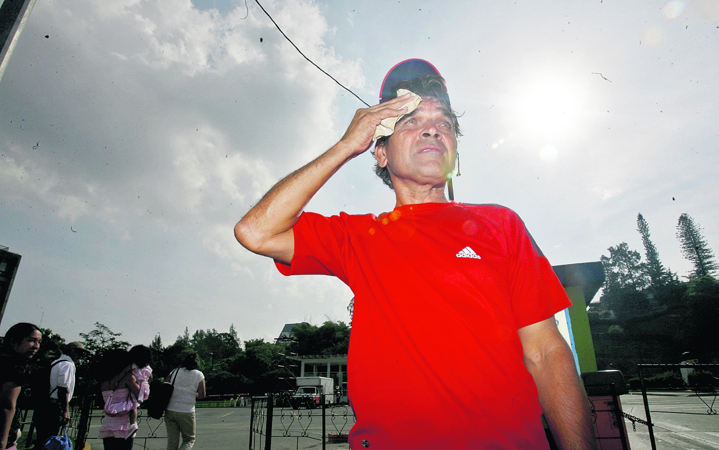
Reduction in rainfall and high temperatures They will predominate in August, September and October, according to the climate perspective of the National Institute of Seismology, Volcanology, Meteorology and Hydrology (Insivumeh) for the next quarter in Guatemala and the rest of Central America.
The warming of the waters of the equatorial Pacific Ocean (region 3.4) is increasingly intense and spreading, contributing to these conditions and marking the transition to El Niño phenomenonwhich could be confirmed in September, according to Edwin Rojas, director of Insivumeh, during the Climate Forum and the Central American Hydrological Forum, held in Guatemala.
“When there is a warning event of the El Niño phenomenon, there are two variables that are expressed immediately: the decrease in precipitation and the increase in temperatures. We believe that the temperature limits we could reach in some regions could be 37 and 38 degrees Celsius. However, we have some regions, such as La Fragua, in Zacapa, that have reached up to 42,” said Rojas.
With the entry of the trade winds and the first cold fronts in the last months of the year, a considerable decrease in temperatures would be experienced, while the reduction in rainfall—marked by a prolonged dog days of up to 40 days—would last until October.
Once El Niño is confirmed, these conditions could last for several months.
“Historically, these phenomena still have an influence the following year; that is why we have talked about 2027 being a year in which we must have the necessary alerts,” indicated the director of Insivumeh.
Claudinne Ogaldes, executive secretary of the National Coordinator for Disaster Reduction (Conred), pointed out that knowing the hydrometeorological perspective is important, but it is also important to adopt prevention measures for the affected sectors, such as agriculture, and be more resilient.
What impact will El Niño have on rainfall in Guatemala?
According to Alejandro Barillas, climatologist at Insivumeh, in the country there will be a deficit general of rain during the next quarter; However, in some regions the decrease will be greater, between 30% and 50% than what is usually recorded.
In the northern area, the Caribbean and the coastal area, the impact is expected to be minor, while in the central highlands, the west, the east and the Pacific the lack of rainfall will be greater due to the Canicula. In that region, this period is expected to end in the first half of August.
In this scenario of precipitation deficit, due to the predicted ocean-atmospheric conditions, there may be sudden rains of “short duration in very localized regions,” according to Barillas, and this could cause flooding, as recently occurred in some municipalities of Alta Verapaz.
But, even if that happens, he clarified that the total accumulated rainfall will not reach normal levels and that is a sample of the “bad” distribution of precipitation during the coming months.
“That is, if 10 millimeters are expected in a month, it will not rain every day, but that amount of rain could fall on specific days,” he added.
Barillas pointed out that the climatic conditions currently observed are atypical and perhaps can be compared with those that occurred in 2023.
The warming in the equatorial Pacific Ocean could extend until the first half of 2027, with warmer peaks in October, November and December, which They could reach up to 3 degrees.
Hurricane Update
Due to these conditions, Insivumeh updated the forecast for the tropical cyclone season for 2026.
The initial forecast for the Atlantic was for 11 to 15 storms, of which seven would become hurricanes and three would reach a major category.
Now they are predicted nine stormsof which four could become category 1 and 2 hurricanes, and one a major hurricane.
Between 16 and 20 storms had been predicted for the Pacific, of which between eight and 10 would be hurricanes and between three and five would reach greater intensity.
With the update, around 22 stormsof which 14 can become hurricanes and nine reach categories 3, 4 and 5.
So far, two named storms have occurred in the Atlantic and, in the Pacific, five named storms and one hurricane that reached categories 1 and 2, for a total of six systems.
Hydrological impact
Jeffrey Antonio Sierra Flores, hydrologist at the Center for Atmospheric, Oceanographic and Seismic Studies (Cenaos) of Honduras, pointed out that the rainfall deficit in Central America will have a “significant impact” on the energy sector, by reduce the flow of rivers. Also will affect the reservoirs that supply drinking water to the populations.
The dog days will last between July and August, with more days of low rainfall. But, in a scenario in which it did not rain enough between May and June, the flows are already reduced.
“The less rain, the less flow we will see in the rivers; this level will drop even more. By October it will improve, but not enough, because we have had too many days with little rain,” Sierra indicated.
There will be precipitation in the part of the Central American Caribbean due to the trade winds, but in the Pacific, where most of the hydroelectric reservoirs of the region, it will rain less.
In some Pacific basins the deficit would reach 50%; in most basins in the central areas it will be between 30% and 40%. For the Caribbean there will be 10%.
Sierra indicated that not all the rain that falls is available on the surface, since a percentage evaporates and another is absorbed by the ground to feed the aquifersan aspect that must also be paid attention to, since many countries in the region are supplied from wells for water consumption.