
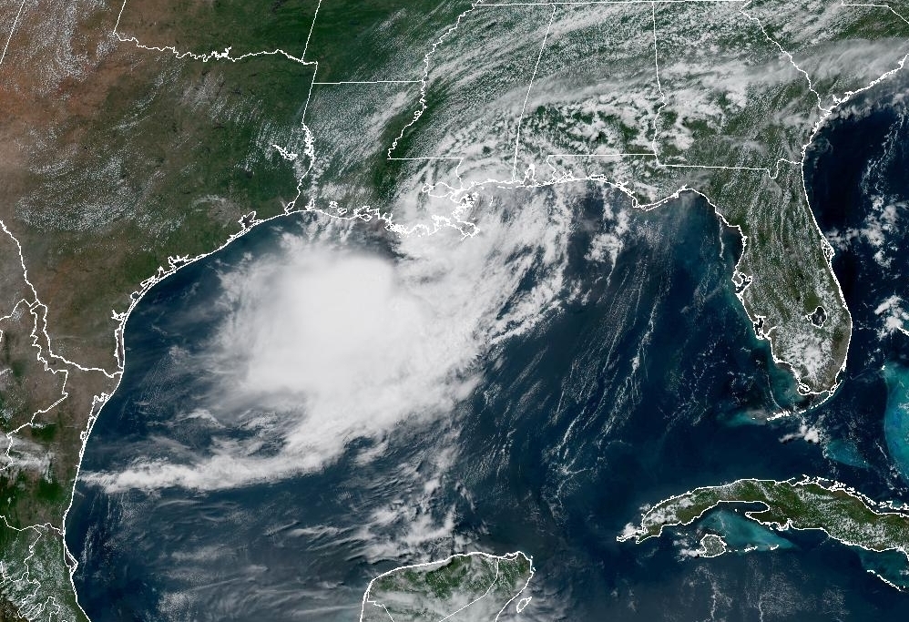
Tropical Storm Bertha began to dissipate this July 24, after causing heavy rains and waves in USAin areas such as Louisiana, Texas and the coasts of the Gulf of Mexico.
In a recent information bulletin, the United States National Hurricane Center (NHC) reported that, although the storm returned to sea, it still could cause rains due to storm surge.
The NHC stated that the storm will completely dissipate this Friday and that its remnants they will leave rains of between 2.5 and 7.6 centimeters.
These rains could cause flash flooding along the coast and south Texas.
The NHC maintains a tropical storm warning in effect from the Vermilion/Cameron, Louisiana, parish line to Sargent, Texas.
Bertha emerged last Monday as the second named storm of the Atlantic hurricane season, which runs from June 1 to November 30.
Arthur, the first storm, formed on June 17 in the Gulf of Mexico and also left heavy rains in Texas.
The National Oceanic and Atmospheric Administration (NOAA) lowered its forecast for the Atlantic hurricane season on July 8, estimating that nine will form hurricanes this year, below the historical average, due to the strengthening of the El Niño climate phenomenon.
Read also: What is a hurricane, typhoon, cyclone and tropical depression and what is the difference